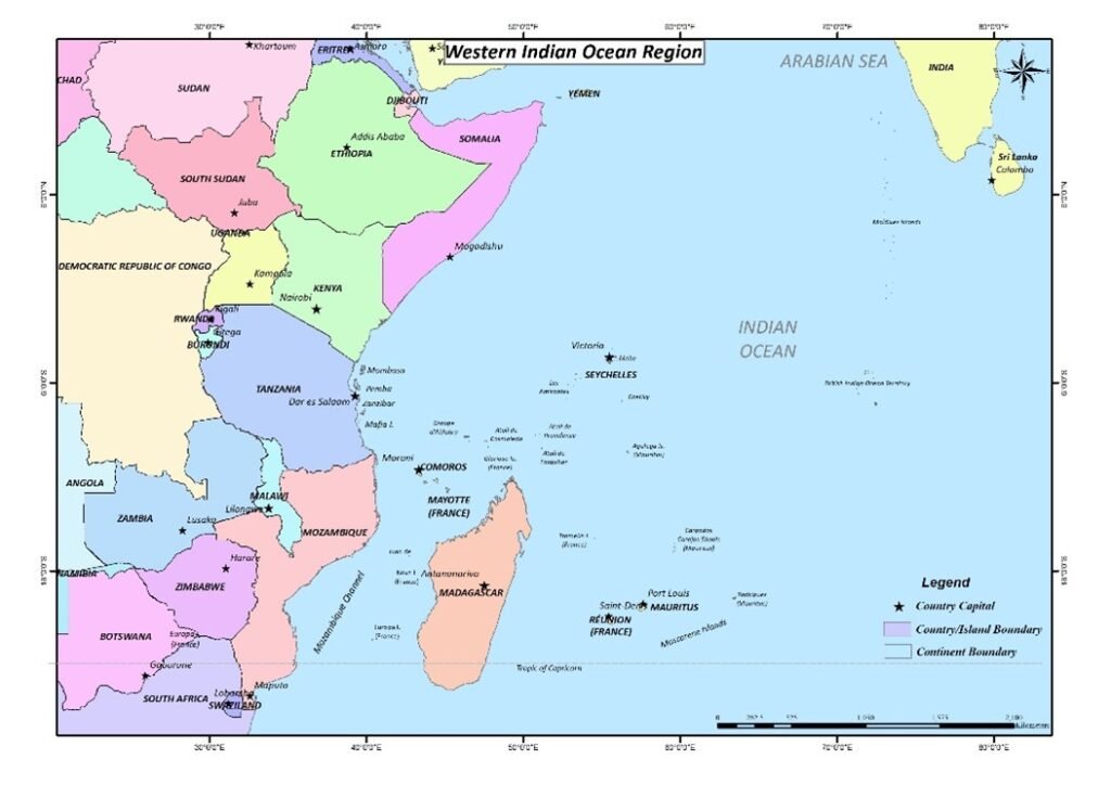
Maps are graphical representations of geographic areas, illustrating spatial relationships between features such as landmarks, landscapes, and built environments. They are essential tools in various disciplines, providing critical information for decision-making, navigation, planning, and communication.
Customized Maps
Topographic Maps
Thematic Maps
Political Maps
Physical Maps
Climate Maps
Economic or Resource Maps
Road and Street Maps
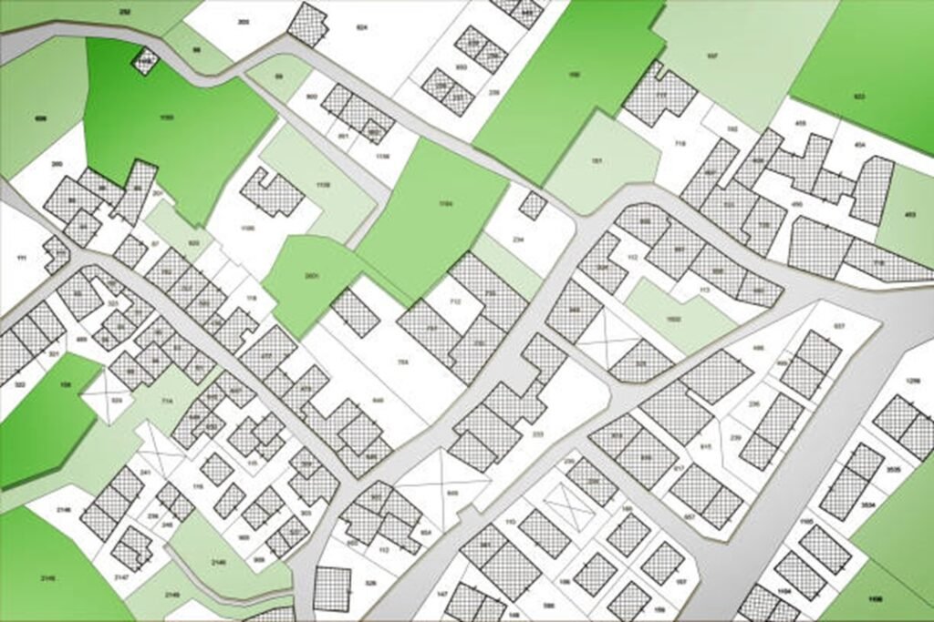
Cadastral Maps
Historical Maps
Interactive and Digital Maps
Choropleth Maps
Isoline Maps
Survey
Surveying is the science and practice of measuring and mapping the Earth’s surface. It involves determining the locations of points, as well as the distances and angles between them, using a range of tools and technologies
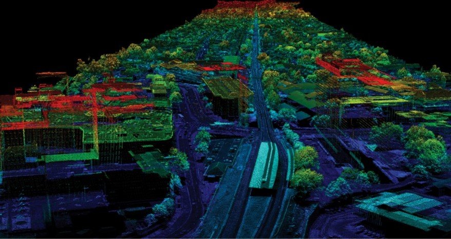
LiDAR (Light Detection and Ranging) Surveying
Urban Planning and Infrastructure Development
forestry management,
flood modeling
Agricultural Management
Disaster Response and Recovery
Archaeological and Cultural Heritage Mapping
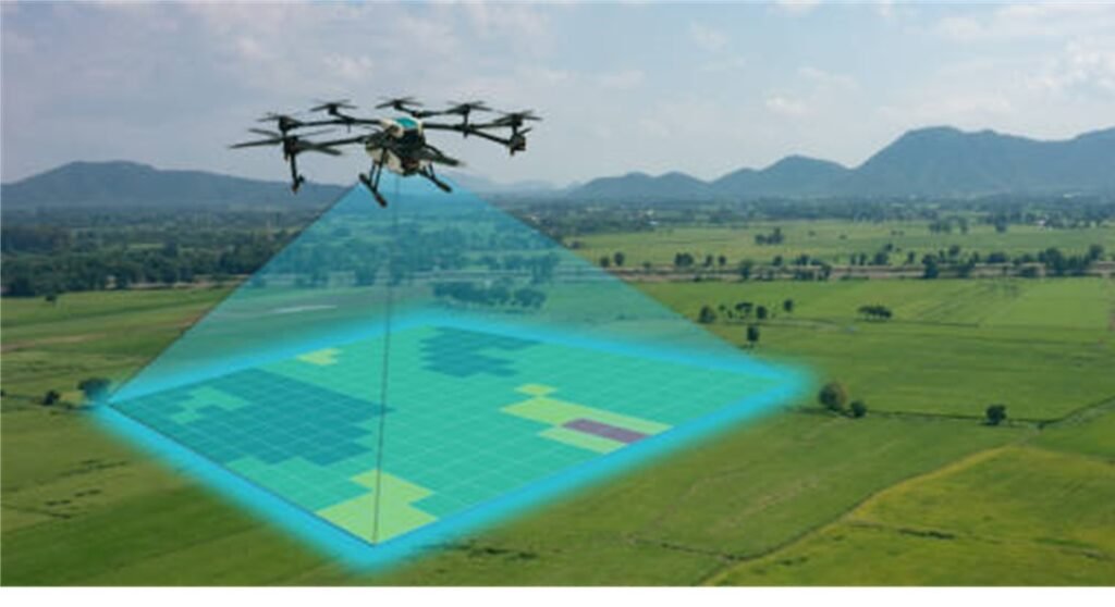
Drones (Unmanned Aerial Vehicles – UAVs)
Infrastructure inspection
Agriculture monitoring
Mining and Resource Exploration
Traffic and Transportation Analysis
Disaster Response and Management
Surveying and Mapping
Cultural Heritage Preservation
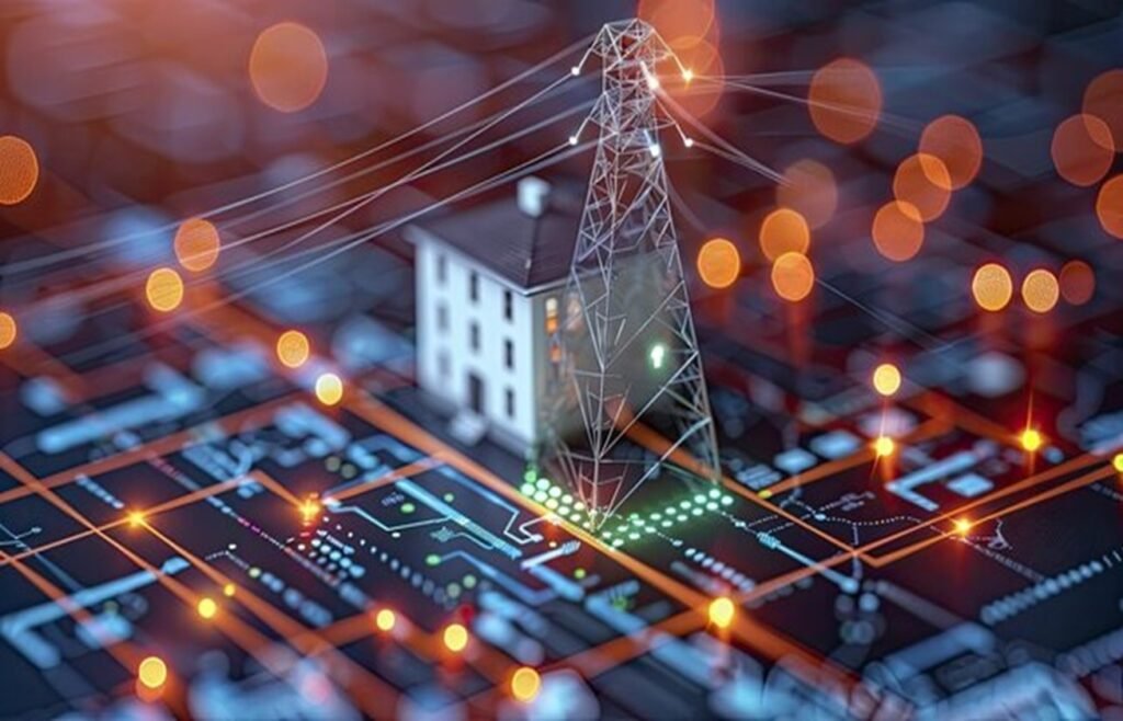
Utility Surveying
Utility Location and Mapping
Infrastructure maintenance,
construction planning
Construction and Renovation Projects
Utility Conflict Detection
Asset Management and Maintenance
Public Works and Municipal Services
Cadastral Surveying
Property Boundary Definition
Real estate transactions
land subdivision
property registration
Environmental and Conservation Planning
Public Infrastructure Projects
Land Use and Zoning
Legal Dispute Resolution
Asset mapping
Easement and Right-of-Way Management
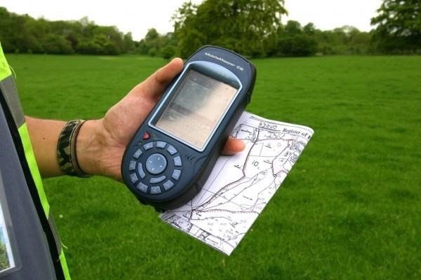
GPS Surveying
Ideal for large-scale surveys
Land Surveying
mapping, and navigation
Construction and Engineering
Geographic Information Systems (GIS)
Agriculture and Precision Farming
Environmental Monitoring
Transportation and Navigation
Emergency Response and Management
Utilities and Infrastructure Management
Surveying and Mapping
Real Estate and Property Management
Military and Defense
Scientific Research
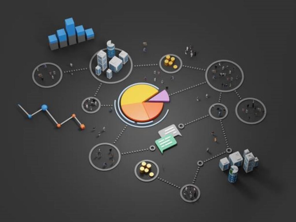
Social and Demographic Surveys
Policy and Decision Making
Urban and Regional Planning
Health and Social Services
Education and Workforce Development
Market Research and Consumer Behavior
Election and Voting Analysis
Social Research and Academic Studies
Economic Development
Community Development and Engagement
Crisis and Emergency Response
Migration and Demographic Changes
Housing and Living Conditions
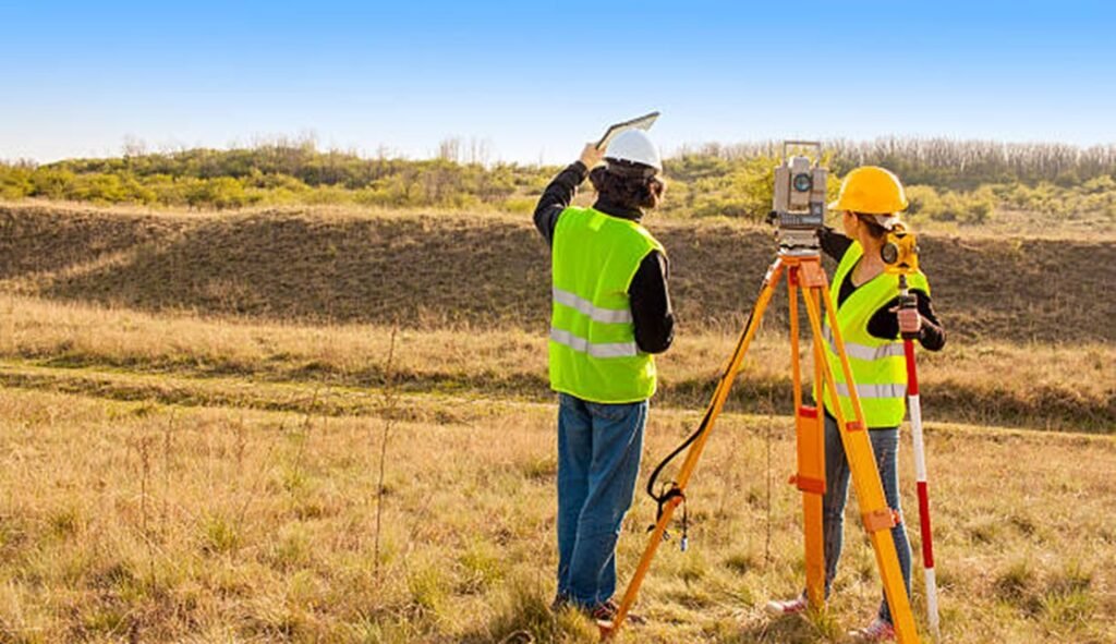
Topographic Survey
Land Development and Urban Planning Construction and Engineering Projects Environmental Management and Conservation Flood Risk Assessment and Management Mining and Resource Extraction Utility and Infrastructure Planning Land Use and Property Management Historical and Archaeological Research Military and Defense Operations
Defense and Security
Surveillance: Remote sensing technologies are used for reconnaissance and monitoring of borders, conflict zones, and military facilities. High-resolution imagery and radar data enhance situational awareness and support intelligence operations.
Disaster Response: In addition to monitoring disasters, remote sensing assists defense operations by providing situational updates, supporting logistics, and coordinating response efforts in affected areas.
Healthcare
Disease Surveillance: Remote sensing helps track environmental conditions related to vector-borne diseases, such as malaria and dengue, by monitoring factors like rainfall and vegetation that influence disease spread.
Environmental Monitoring: Satellite data assesses air and water quality, providing critical information on pollutants and contaminants that can impact respiratory and overall health.
Disaster Response: Remote sensing quickly evaluates damage and identifies areas in need of medical aid after natural disasters, aiding in efficient response and resource allocation.
Urban Health Analysis: It helps identify urban heat islands and assess access to healthcare facilities, contributing to improved public health planning and infrastructure development.