Services
Optimized & Industry-ready Solutions
For All Your Complicated Needs
We build Services that fulfill your needs.
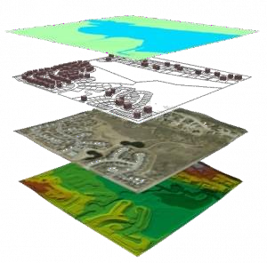
Our unwavering commitment to cutting-edge technology and meticulous analysis sets us apart in the ever-evolving field of geomatics. We understand that in today’s data-driven world, the ability to gather, process, and interpret geographic information is paramount. That’s why we’ve made it our business to provide you with the most advanced GIS solutions available.
Our Innovations
Industry Focused Services
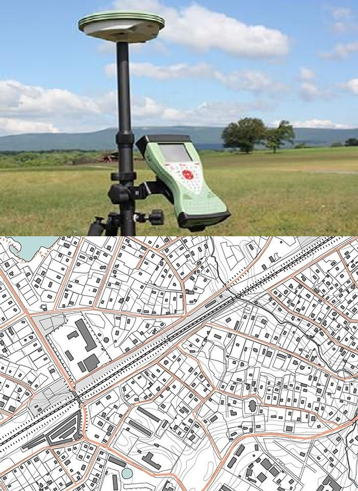
GIS
Our GIS services include expert data conversion and geodatabase management. We specialize in digitizing analog data (maps, reports, charts) and integrating various GIS data types, including satellite imagery and digital terrain models. We also handle the conversion of PDF formats into GIS-compatible data. Our geodatabase services involve migrating legacy systems to secure, scalable platforms, providing consultation on optimal architectures, and offering comprehensive support with regular updates.
For web mapping solutions, Marvel for Enterprise offers a secure, on-premises GIS platform that integrates seamlessly with existing systems. It provides complete control within your firewall, enhances collaboration with real-time data sharing, reduces IT overhead with simplified management, ensures data security with robust protections, and allows for customization to meet specific business needs and compliance requirements.
Remote Sensing
We provide comprehensive remote sensing solutions to gather and analyze data from aircraft or satellites. Our services cover environmental monitoring, agriculture, disaster management, urban planning, water resources management, forestry, geology, oceanography, meteorology, archaeology, military and defense, public health, and education. Utilizing advanced sensors, we deliver real-time, detailed information to enhance decision-making and support sustainable management practices across various fields.
Mapping
Mapping services offer a range of visual representations to convey spatial information. These include topographic maps for physical features, thematic maps for specific subjects, and choropleth maps for data values in areas. Services also provide cartograms to emphasize data over geographic accuracy, dot density maps for distribution insights, and flow maps for movement patterns. Isoline maps display equal-value lines, heat maps use color gradients for intensity, and 3D mapping presents data in three dimensions for detailed analysis.