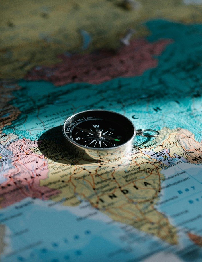
GIS
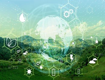
Geographic Information Systems (GIS) are sophisticated platforms that enable the capture, storage, analysis, and visualization of spatial and geographic data. These systems are integral to a wide array of disciplines, offering transformative insights and solutions to intricate challenges. GIS applications are diverse, addressing critical needs across numerous fields.

1. Urban Planning and Management
– Land Use Planning: GIS is essential for urban planning, helping planners analyze land use patterns, zoning, and land suitability. It assists in designing efficient transportation systems, utilities, and green spaces, contributing to sustainable urban development.
– Infrastructure Management: GIS helps in the planning, development, and maintenance of infrastructure such as roads, bridges, water supply, and sewage systems. By integrating spatial data, city planners can optimize the placement and maintenance schedules of these assets.
– Smart Cities Development: GIS is a cornerstone of smart city initiatives, enabling real-time monitoring and management of urban services like traffic flow, energy consumption, and waste management. This data-driven approach improves the efficiency and quality of urban life.
- Environmental Conservation and Management
– Biodiversity Conservation: GIS is used to map and monitor habitats, track species distribution, and identify biodiversity hotspots. This information supports conservation efforts by helping to design protected areas and manage ecosystems sustainably.
– Natural Resource Management: GIS enables the sustainable management of natural resources like forests, water, and minerals. By analyzing spatial data, decision-makers can assess the impact of human activities and implement strategies to conserve resources.
– Environmental Impact Assessment (EIA): GIS plays a critical role in EIAs by providing tools to analyze the potential environmental impacts of proposed projects. This includes assessing changes in land use, water resources, and biodiversity.
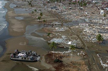
3.Disaster Management and Risk Assessment
– Hazard Mapping: GIS is used to map areas at risk of natural hazards such as earthquakes, floods, hurricanes, and landslides. This helps in identifying vulnerable areas and planning for disaster preparedness and mitigation.
– Emergency Response Planning: During and after disasters, GIS is invaluable for coordinating emergency response efforts. It helps in identifying evacuation routes, locating shelters, and deploying resources efficiently.
– Risk Assessment and Vulnerability Analysis: GIS tools are used to assess the vulnerability of populations and infrastructure to natural and man-made hazards. This information is critical for developing risk management strategies and reducing disaster-related loss

- Agriculture and Food Security
– Precision Agriculture: GIS is used in precision farming to optimize the use of resources like water, fertilizers, and pesticides. By analyzing spatial data on soil properties, crop health, and weather conditions, farmers can increase yields and reduce environmental impact.
– Crop Monitoring and Management: GIS enables the monitoring of crop conditions and the identification of areas affected by drought, pests, or diseases. This helps in timely interventions and ensures better crop management.
– Food Security Analysis: GIS is used to analyze food production and distribution patterns, assess food insecurity risks, and plan interventions to improve food availability and access.

5. Transportation and Logistics
– Route Optimization: GIS is used to optimize transportation routes for logistics and delivery services. By analyzing traffic patterns, road conditions, and delivery points, companies can reduce fuel consumption and improve delivery efficiency.
– Transportation Planning: GIS supports the planning and management of transportation networks, including roads, railways, and public transit systems. It helps in assessing travel demand, identifying bottlenecks, and planning new infrastructure.
– Asset Management: GIS helps in managing transportation assets such as roads, bridges, and railway tracks. It enables the tracking of asset conditions, planning maintenance, and optimizing resource allocation.
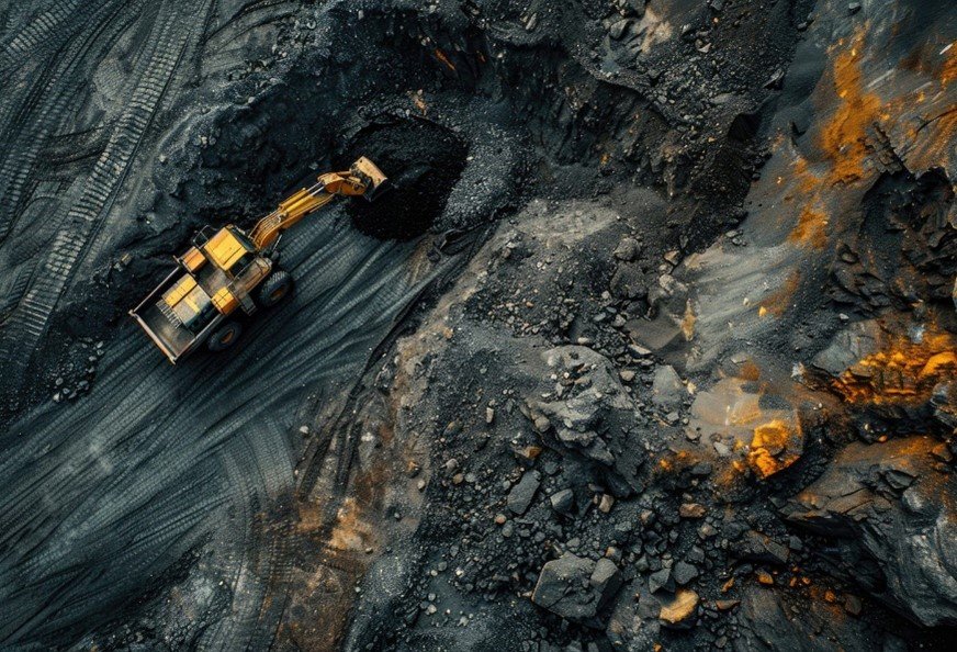
- Natural Resource Exploration and Management
– Mineral and Oil Exploration: GIS is used to identify potential sites for mineral and oil extraction by analyzing geological and geophysical data. It helps in reducing exploration costs and minimizing environmental impact.
– Water Resource Management: GIS is essential for managing water resources, including mapping watersheds, monitoring water quality, and managing irrigation systems. It helps in optimizing water use and ensuring sustainable management.
– Forestry Management: GIS supports the management of forest resources by mapping forest cover, monitoring deforestation, and planning reforestation efforts. It helps in balancing resource extraction with conservation goals.
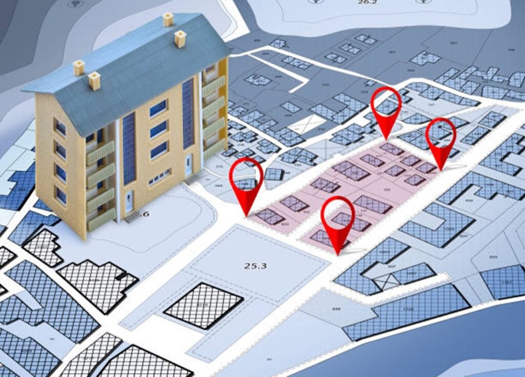
- Cadastral and Land Management
– Property Mapping and Land Registration: GIS is used in cadastral mapping to record property boundaries and ownership. This is essential for land registration, resolving land disputes, and managing property taxes.
– Land Administration: GIS supports land administration by providing tools for managing land records, analyzing land use patterns, and planning land reforms.
– Urban Land Use Planning: GIS is used to analyze land use patterns in urban areas, assess land availability, and plan for future development. It helps in balancing the demands for residential, commercial, and industrial land use
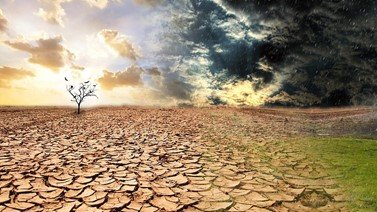
- Climate Change Studies and Mitigation
– Climate Modeling: GIS is used to model the impacts of climate change on various ecosystems, including predicting changes in temperature, precipitation, and sea levels. This information is crucial for developing adaptation strategies.
– Carbon Sequestration Mapping: GIS helps in identifying areas suitable for carbon sequestration, such as forests and wetlands. It supports efforts to mitigate climate change by enhancing carbon storage in natural ecosystems.
– Vulnerability Assessment: GIS tools are used to assess the vulnerability of communities and ecosystems to climate change. This helps in planning interventions to reduce the impact of climate-related hazards.

- Energy and Utility Management
– Renewable Energy Planning: GIS is used to identify suitable locations for renewable energy projects, such as wind farms and solar power plants. It helps in optimizing site selection based on factors like solar radiation, wind speed, and proximity to the grid.
– Utility Network Management: GIS supports the management of utility networks, including electricity, water, and gas. It helps in monitoring network performance, planning maintenance, and responding to outages.
– Energy Consumption Analysis: GIS is used to analyze spatial patterns of energy consumption, identify areas of high demand, and plan energy efficiency programs

- Military and Defense Applications
– Battlefield Mapping: GIS is used in military operations for battlefield mapping, terrain analysis, and mission planning. It helps in understanding the geographic context of military operations and making informed decisions.
– Defense Infrastructure Management: GIS supports the management of defense infrastructure, including bases, training facilities, and supply chains. It helps in optimizing resource allocation and maintaining operational readiness.
– Surveillance and Reconnaissance: GIS is used in surveillance and reconnaissance operations to analyze spatial data from satellite imagery, drones, and other sources. It helps in monitoring potential threats and planning defense strategies.

11.Telecommunications and Network Planning
– Network Optimization: GIS is used to optimize the design and deployment of telecommunications networks, including fiber optic cables, cell towers, and satellite links. It helps in maximizing coverage and minimizing costs.
– Customer Service Planning: GIS supports customer service planning by analyzing the spatial distribution of customers, assessing service demand, and planning network expansions.
– Signal Propagation Analysis: GIS tools are used to analyze signal propagation and identify areas with poor coverage. This helps in improving network performance and ensuring reliable communication services.
12.Tourism and Recreation Planning
– Tourism Site Mapping: GIS is used to map and analyze tourist attractions, including natural and cultural sites. It helps in planning tourism infrastructure and managing visitor flow.
– Recreation Planning: GIS supports the planning of recreational facilities, such as parks, trails, and sports complexes. It helps in assessing demand, identifying suitable locations, and ensuring equitable access.
– Ecotourism Management: GIS is used to manage ecotourism activities by mapping sensitive ecosystems, assessing environmental impacts, and planning sustainable tourism practices.
Web GIS
Web GIS (Geographic Information System) refers to a GIS platform that can be accessed via the internet, enabling users to view, analyze, and interpret spatial data from any location with an internet connection. This technology has revolutionized the accessibility and usability of geospatial data, making GIS tools more broadly available and easier to use.
- Web Mapping Services (WMS)
- Web Feature Services (WFS)
- Web Coverage Services (WCS)
- Geocoding Services
- Reverse Geocoding Services
- Routing Services
- Geospatial Web Portals
- Spatial Data Infrastructure (SDI) Services
- Geoprocessing Services
- Tile Mapping Services
- Web GIS Platforms
- Crowdsourcing GIS Services
- Geoportals
- Real-time Data Services
- 3D Web Mapping Services
- Data Visualization Services
- Location-Based Services (LBS)
- Spatial Database Services
- Map Sharing Services
- Mobile GIS Services
- Data Integration Services
- Spatial Analysis Services
- Location Analytics Services
- Interactive Story Maps